
Rewilding France recently organized the first participatory monitoring effort in the Die communal forest, providing an opportunity to assess the ecological condition of the site with local volunteers.
⏱️7-8 minutes
Why conduct this monitoring?
The Environmental Management Agreement (ORE) we signed with the Die town hall in March 2026 specifies that we must conduct an ecological assessment of the site within the first three years. So that is what we began doing this year, focusing on several different areas.
An initial monitoring effort focused on browsing—that is, the impact of herbivores on forest regeneration—was conducted last May and will be repeated in three years.
The forest structure survey, meanwhile, focuses on tree species, dendromicrohabitats, deadwood, regeneration, and forest cover. It will be conducted every five years.
This baseline assessment will also include a bird survey, which began last April and May by local naturalists, including the LPO, and will be completed next spring.
We also plan to monitor bat populations next spring—again with the help of passionate naturalists, to install microclimate sensors (temperature and relative humidity) in late August, to set up camera traps next summer, and, if funding applications allow, to have an entomologist monitor populations of hoverflies, which serve as bio-indicators of the forest’s stage of maturity and senescence. Finally, drone imagery will round out this monitoring program.
A Group Monitoring Effort
Daphné, our restoration coordinator, had already completed the first part of the forest structure monitoring with our two interns, Fanny and Manon, on about fifteen of the forty plots we planned to analyze. However, we deliberately opened up the rest of the monitoring to volunteers from the Diois region, as this allows local residents and forest users to take ownership of this initiative from the very beginning.
Monitoring’s Agenda
This participatory monitoring activity focused on assessing forest structure, with the goal of surveying forty ONF sample plots. The first step was to locate each plot by identifying the Roman numerals I, II, and III, which marked the center of the plot, and then to mark out an initial perimeter with a diameter of ten meters and a second one with a diameter of twenty meters.
Our team’s mission was then to:
- Record the slope angle and the plot’s aspect;
- Count and identify tree species;
- Measure the diameter of the largest specimens;
- Identify all dendromicrohabitats;
- Count deadwood;
- Estimate the percentage of shade in each forest stratum.
The data is entered by each team leader into FieldMaps, a field data collection app linked to ArcGIS.
Results
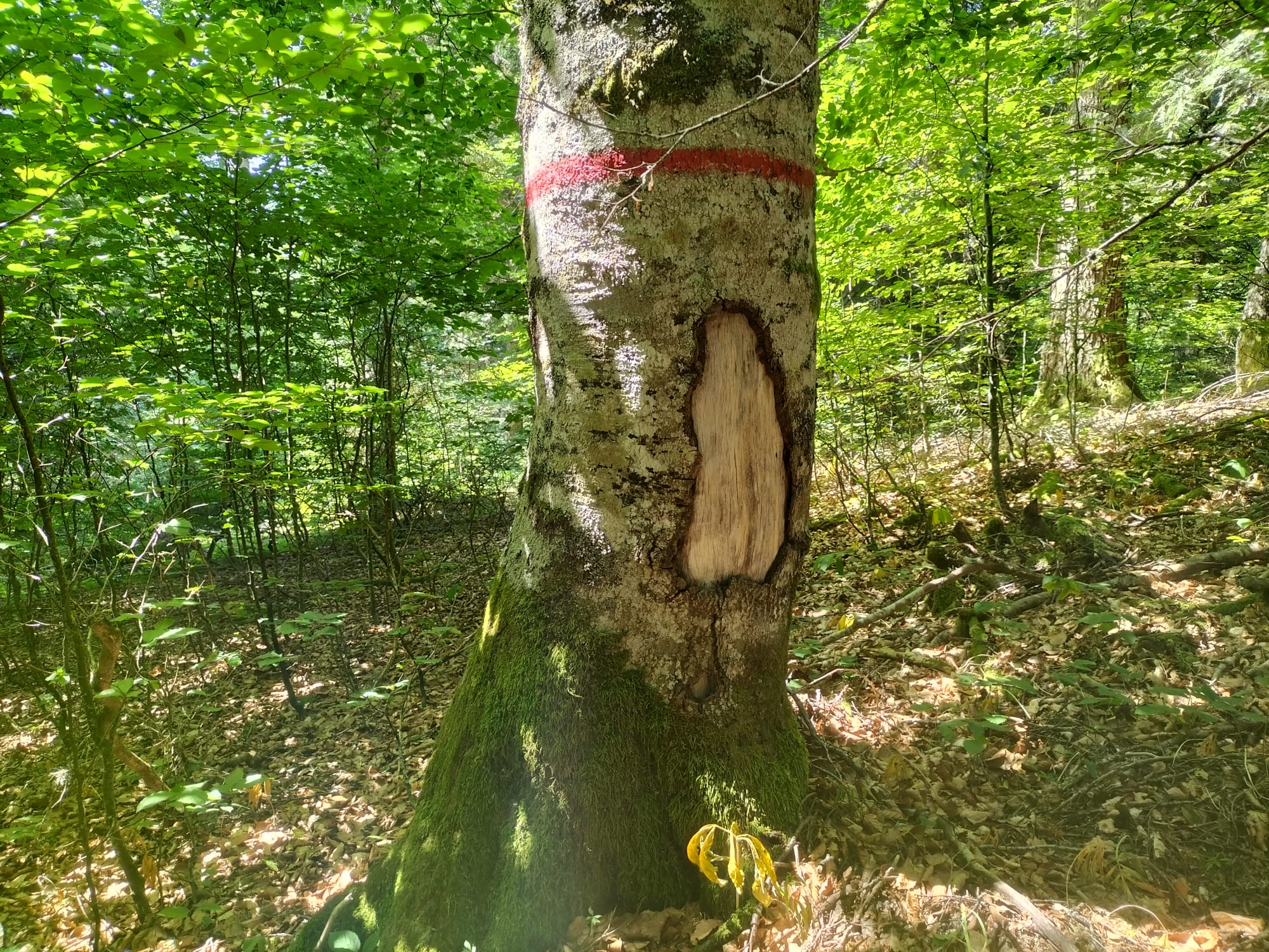
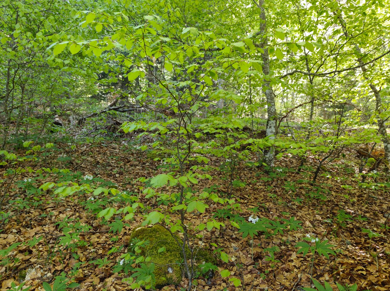
Consistent with what we had observed at the start of the bird monitoring program, we identified very few dendromicrohabitats and, consequently, few sites suitable for cavity-nesting species. However, the good coverage of young shoots on the forest floor—particularly in the areas we have left to develop naturally—suggests that natural regeneration will be strong in the future.
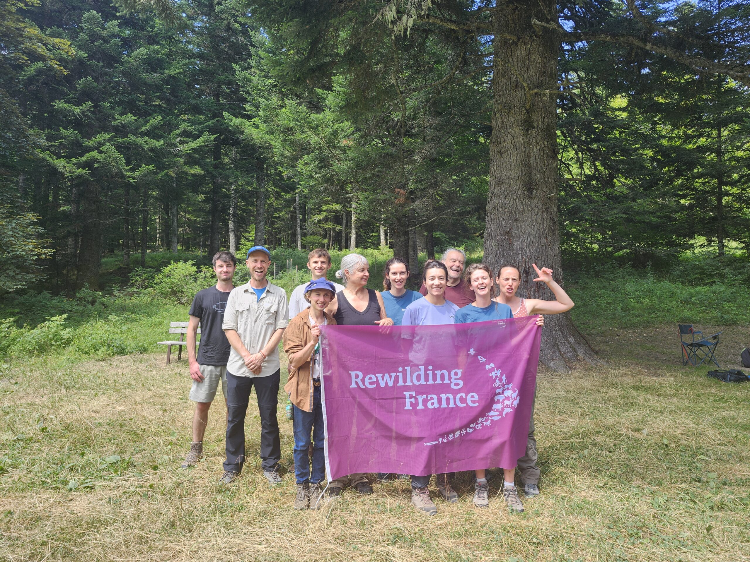
We would like to extend our heartfelt thanks to the nine people who joined our team: Manon Mouttet, Benoit Gilloz, Marie Mélinon, Anne Tesson, Claude Veyret, Gaspar Louche-Pélissier, Julien Menant, Hugo, and Ana Rougier.
Written by Aurélien Giraud
Rewilding France
